Who We Are
Lamongan Shorebase is designed, built, and operated by PT Eastern Logistics, a subsidiary of Eastlog Holdings Pte Ltd. Our group also provides design, build, and operation services for Oil and Gas Shorebases worldwide.
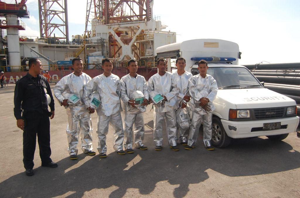
A world-class multi-user facility, Lamongan Shorebase is designed and built to provide integrated support services and facilities to the highly specialized needs of the Oil and Gas industry in Indonesia. We operate to the highest standards of Health, Safety, and Environment (HSE).
At Lamongan Shorebase, we cater to Production Sharing Contractors (PSCs); Services Companies and Manufacturers of Oil and Gas Equipment by providing Shorebase, Gateway Port, Hub Port, and Industrial Services.
Shorebase Services
We support offshore exploration, drilling, projects, and production activities for most of the companies operating offshore East Java. We have purpose built berths that incorporate adequate space for Dry Bulk Plants on the jetty, as well as facilities adjacent to the jetty for Liquid Mud Plants.
Gateway Port
We support onshore drilling and production needs of PSCs within East Java by being the Port of Entry and act as a consolidation hub for all required materials.
Hub Port
As a Hub Port, we support the needs of PSCs and Service Companies whose activities are located further east of us, where there are no or limited access to a suitable Secondary Port. As a result, PSCs can use dedicated charter vessels to move material from our ideally located International Public Port to a field location.
We also have the advantage of being in a location which is well served by an International Airport, a good network of roads, and the second busiest Port in Indonesia.
Industrial Hub
With the large number of PSCs using Lamongan Shorebase, numerous service companies have set up operations within our shorebase. These include companies offering Fabrication Services, Inspection Services, Waste Management, Oil Spill Response, and Explosive Storage.
Lamongan Shorebase is about 86 km or 2 hours from Juanda International Airport. We are also and 60 km or 75 minutes from Surabaya City. We are located at Tanjung Pakis, on the tip of the north coast of East Java, with the following co-ordinates: Latitude 06° – 52° – 04° South and Longitude 112° – 25° – 04° East.
Learn more about us through the following:
The seasonal weather patterns are broadly divided into three seasons:
- North West Monsoon (December to February)
Rain occurs during this season. However, the Java Sea is more moderate as compared to the Indian Ocean. Winds are generally from the NW during this period and can reach gale force and local squalls. - South East Monsoon (April to October)
Winds are generally from the east during this period. - Transitional Season (October to December)
Winds are lighter and variable but may freshen in the late afternoon and early evening with sea breeze effect.
- Water Level Fluctuation (Tidal)
High Water Spring (HWS) is 110 cm above the Mean Sea Level (MSL) or 226 cm above the staff gauge bottom level. MSL is 116 cm above the staff gauge bottom level LWS is 110com below MSL or 6 cm above the staff gauge bottom level Tidal difference is 220 cm. The type of tide is DIURNAL. - Currents
The current speed is dominated by surface current with maximum speed of 0.12 m/sec during Spring Tide, with an average direction is 270° and 000° during Neap Tide. During Spring Tide the average current is faster than the Neap Tide with the average difference of about 0.05 m/sec (= 0.1 knot). - Wave
Wave period is 12 seconds in average with the chance of occurrence of 1.0m wave height and 15 seconds period shows that this area facing to open sea.
Vessels approaching Lamongan Shorebase Port should proceed to the Fairway Buoy. Our Channel Buoys are fitted to facilitate vessels on entering or departed Lamongan Shorebase Port with the following coordinates:
Red-White / Fairway Buoy (Outer Buoy) – Fl.W.3s (Fl 1.0s; Ecl. 2.0s)
Coordinate: 06° – 44' – 00" South / 112° – 24' – 55" East
Red / Channel Buoy - Fl.R.4s (Fl 0.5s; Ecl. 3.5s)
Coordinate: 06° – 45' – 30" South / 112° – 25' – 00" East
Red / Channel Buoy – Fl.R.4s (Fl 1.0s; Ecl. 3.0s)
Coordinate: 06° – 48' – 30" South / 112° – 25' – 00" East
Green / Channel Buoy – Fl.G.5s (Fl 1.0s; Ecl. 4.0s)
Coordinate: 06° – 47' – 00" South / 112° – 24' – 50" East
Yellow / Marking Buoy – Fl.Y.4s (Fl 1.0s; Ecl. 3.0s)
Coordinate: 06° – 50' – 51" South / 112° – 24' - 25" East
Yellow / Marking Buoy – Fl.Y.4s (Fl 0.5s; Ecl. 3.5s)
Coordinate: 06° – 50' – 51" South / 112° – 25' – 25" East
On land Port Light Beacon – Iso W.3s 6M (Fl 1.5s; Ecl. 1.5s)
Coordinate: 06° – 52' – 04" South / 112° – 25' – 04" East
The seasonal weather patterns are broadly divided into two seasons:
- No. 1 Mooring Buoy
Latitude: 06° 51' 44.844" South
Longitude: 112° 24' 50.674" East - No. 2 Mooring Buoy
Latitude: 06° 51' 28.645" South
Longitude: 112° 24' 47.475" East
Vessels may, by prior notice request a pilot and/or tug boat for assistance. nulled themes Such requirement must be requested well in advanced through the Agent.
Click here for information prior to visit Lamongan Shorebase.


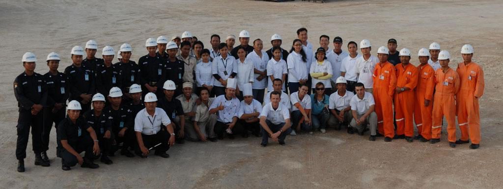
We recognize that our people are our greatest asset. Our Human Resource Philosophy is to provide a safe work environment, ensure career enhancements, and reward our staff for their contribution and commitment.
